| Camera Network |
Camera Name |
| PHENOCAM |
torgnon-nd |
|
Start |
End |
| Date |
2023-08-01 |
2099-12-31 |
| Time |
00:00:00 |
23:59:00 |
|
| Run analyses also for each polygon (ROI) separately: False |
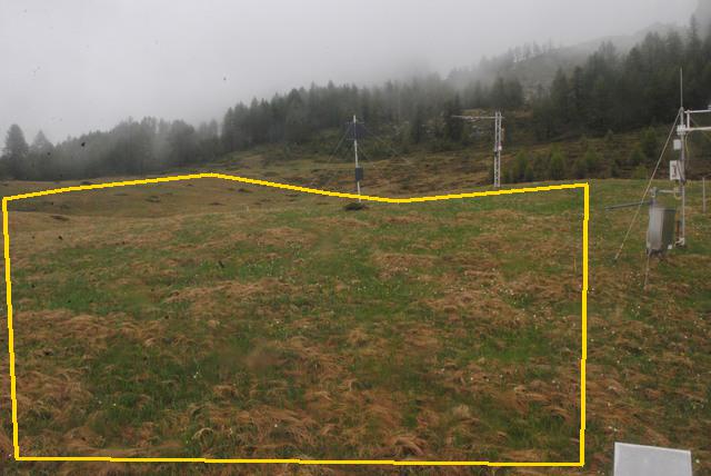
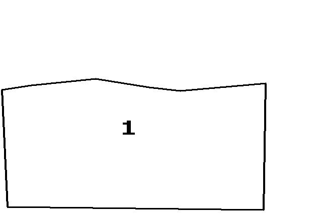
| Polygon | Image Coordinates | | 1 | 0.0222,0.9622,0.8192,0.9743,0.8253,0.3897,0.5606,0.4245,0.4636,0.4079,0.297,0.3671,0.098,0.3988,0.0061,0.4184 |
| ROI Geolocation information |
| Coordinate system: WGS84(EPSG:4326) | | Geometry information is retrieved from camera metadata. |
| Point | Geolocation Coordinates | | 1 | 45.8444,7.5781 |
| Type |
Value |
Minimum |
Maximum |
| Image Threshold |
Brightness |
0.35 |
1.0 |
| Image Threshold |
Luminance |
0.0 |
1.0 |
| Image Threshold |
Red Fraction |
0.0 |
1.0 |
| Image Threshold |
Green Fraction |
0.0 |
1.0 |
| Image Threshold |
Blue Fraction |
0.0 |
1.0 |
| ROI Threshold |
Red Fraction |
0.0 |
1.0 |
| ROI Threshold |
Green Fraction |
0.0 |
1.0 |
| ROI Threshold |
Blue Fraction |
0.0 |
1.0 |
| Pixel Threshold |
Red Channel |
0.0 |
254.0 |
| Pixel Threshold |
Green Channel |
0.0 |
254.0 |
| Pixel Threshold |
Blue Channel |
0.0 |
254.0 |
| Pixel Threshold |
Grey Composite |
0.0 |
255.0 |
|
| Analysis No |
Analysis Name |
Analysis Parameters |
| 1 |
Snow Cover Fraction - SNOWCOV001 |
| Parameter |
Value |
| Include Red Channel |
Not Selected |
| Include Green Channel |
Not Selected |
| Include Blue Channel |
Selected |
| Store mid-step and extra output data |
Not Selected |
| Use georectification |
Not Selected |
| Spatial extent |
0;0;0;0 |
| Spatial Extent Coordinate System |
WGS84(EPSG:4326) |
| Spatial resolution |
1 |
| DEM Dataset |
NLS-DEM2 |
| Camera coordinates |
0;0 |
| Camera coordinate system |
WGS84(EPSG:4326) |
| Camera Height |
10 |
| Horizontal position |
0.0 |
| Target Direction |
0.0 |
| Vertical position |
0.0 |
| Focal length |
24 |
| Scaling factor |
1 |
| Interpolate DEM Data |
Selected |
| Flat terrain |
Not Selected |
| Radial Center |
0.0;0.0 |
| Horizontal coefficient |
0.0 |
| Vertical Coefficient |
0.0 |
|
|