| Camera Network |
Camera Name |
| MONIMET |
Tammela Spruce Ground |
|
Start |
End |
| Date |
N/A |
N/A |
| Time |
05:15:00 |
18:45:00 |
|
| Run analyses also for each polygon (ROI) separately: False |
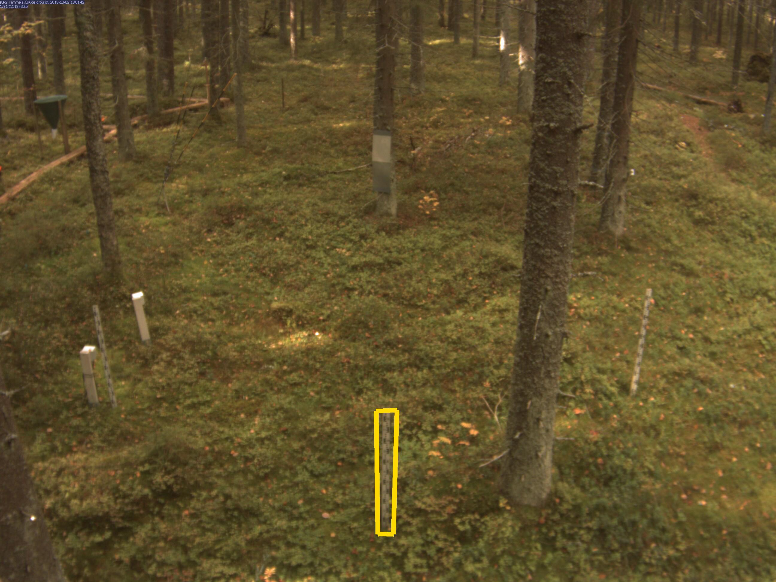
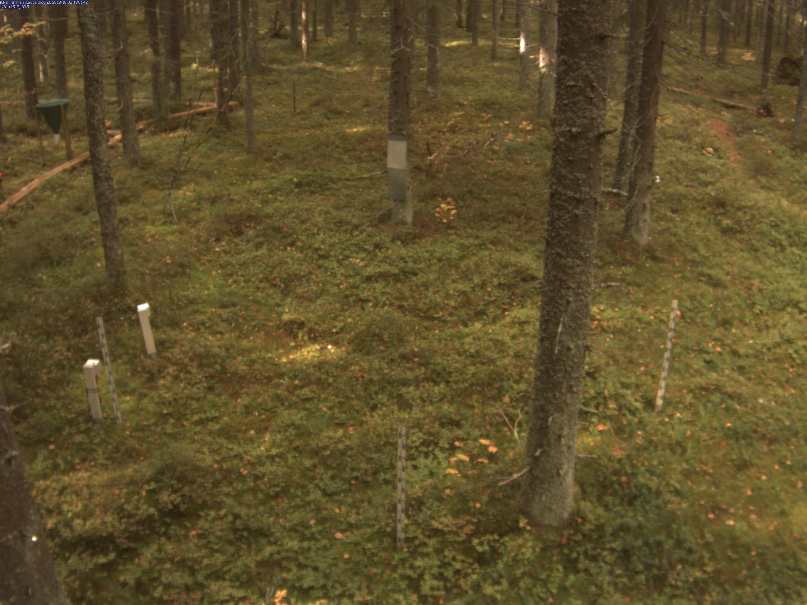
| Polygon | Image Coordinates | | 1 | 0.4893,0.9168,0.5071,0.918 | 0.5116,0.7051,0.4848,0.7063,0.4866,0.918
| ROI Geolocation information |
| Coordinate system: WGS84(EPSG:4326) | | Geometry information is retrieved from camera metadata. |
| Point | Geolocation Coordinates | | 1 | 60.64598306,23.80650111 |
| Type |
Value |
Minimum |
Maximum |
| Image Threshold |
Brightness |
0.25 |
1.0 |
| Image Threshold |
Luminance |
0.0 |
1.0 |
| Image Threshold |
Red Fraction |
0.0 |
1.0 |
| Image Threshold |
Green Fraction |
0.0 |
1.0 |
| Image Threshold |
Blue Fraction |
0.0 |
1.0 |
| ROI Threshold |
Red Fraction |
0.0 |
1.0 |
| ROI Threshold |
Green Fraction |
0.0 |
1.0 |
| ROI Threshold |
Blue Fraction |
0.0 |
1.0 |
| Pixel Threshold |
Red Channel |
0.0 |
255.0 |
| Pixel Threshold |
Green Channel |
0.0 |
255.0 |
| Pixel Threshold |
Blue Channel |
0.0 |
255.0 |
| Pixel Threshold |
Grey Composite |
0.0 |
255.0 |
|
| Analysis No |
Analysis Name |
Analysis Parameters |
| 1 |
Snow Depth - SNOWDEP001 |
| Parameter |
Value |
| Height of the object |
120 |
| Threshold Value |
65 |
| Gaussian filter sigma |
1 |
| Bias |
0 |
|
No results data to show.
|