| Camera Network |
Camera Name |
| MONIMET |
Hyytiala Pine Ground |
|
Start |
End |
| Date |
2023-08-01 |
2099-12-31 |
| Time |
05:15:00 |
18:45:00 |
|
| Run analyses also for each polygon (ROI) separately: False |
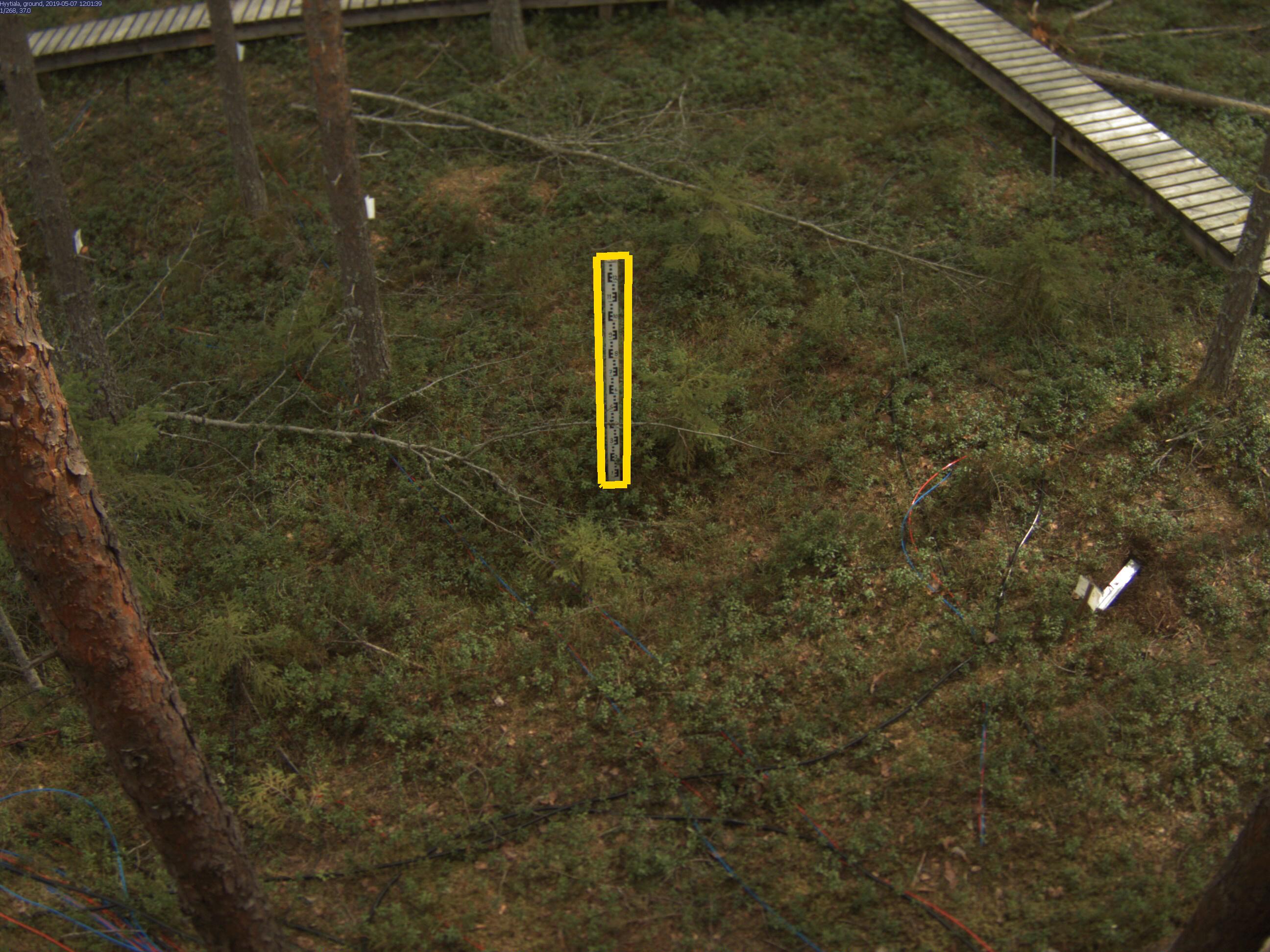
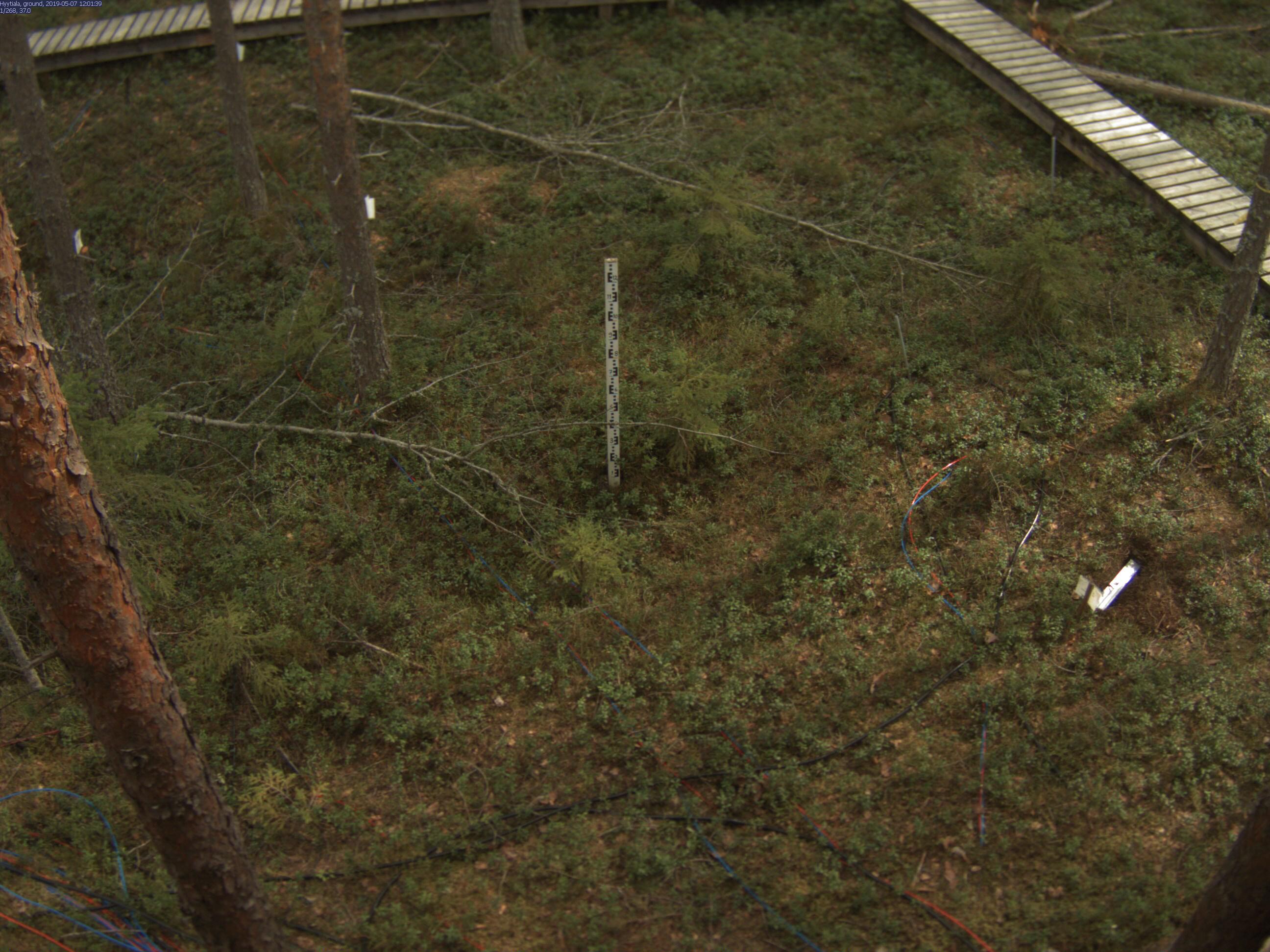
| Polygon | Image Coordinates | | 1 | 0.4749,0.5094,0.4937,0.5087,0.4953,0.2683,0.4697,0.2697,0.4734,0.508 |
| ROI Geolocation information |
| Coordinate system: WGS84(EPSG:4326) | | Geometry information is retrieved from camera metadata. |
| Point | Geolocation Coordinates | | 1 | 61.84769,24.29496 |
| Type |
Value |
Minimum |
Maximum |
| Image Threshold |
Brightness |
0.2 |
1.0 |
| Image Threshold |
Luminance |
0.0 |
1.0 |
| Image Threshold |
Red Fraction |
0.0 |
1.0 |
| Image Threshold |
Green Fraction |
0.0 |
1.0 |
| Image Threshold |
Blue Fraction |
0.0 |
1.0 |
| ROI Threshold |
Red Fraction |
0.0 |
1.0 |
| ROI Threshold |
Green Fraction |
0.0 |
1.0 |
| ROI Threshold |
Blue Fraction |
0.0 |
1.0 |
| Pixel Threshold |
Red Channel |
0.0 |
255.0 |
| Pixel Threshold |
Green Channel |
0.0 |
255.0 |
| Pixel Threshold |
Blue Channel |
0.0 |
255.0 |
| Pixel Threshold |
Grey Composite |
0.0 |
255.0 |
|
| Analysis No |
Analysis Name |
Analysis Parameters |
| 1 |
Snow Depth - SNOWDEP001 |
| Parameter |
Value |
| Height of the object |
125 |
| Threshold Value |
40 |
| Gaussian filter sigma |
1 |
| Bias |
0 |
|
|