| Camera Network |
Camera Name |
| MONIMET |
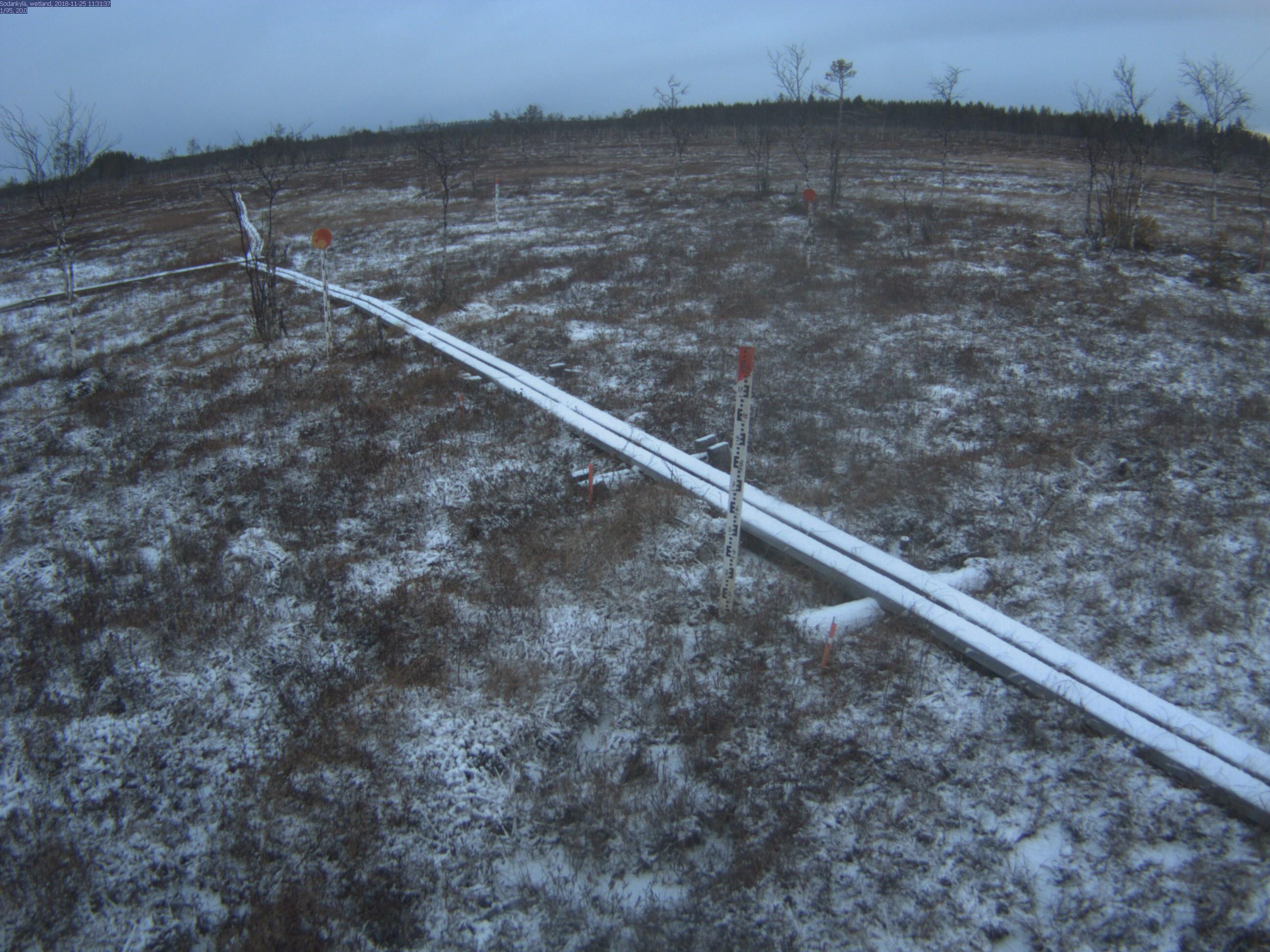
Sodankyla Pine Peatland |
|
Start |
End |
| Date |
2024-08-01 |
2099-12-31 |
| Time |
05:15:00 |
18:45:00 |
|
| Run analyses also for each polygon (ROI) separately: False |
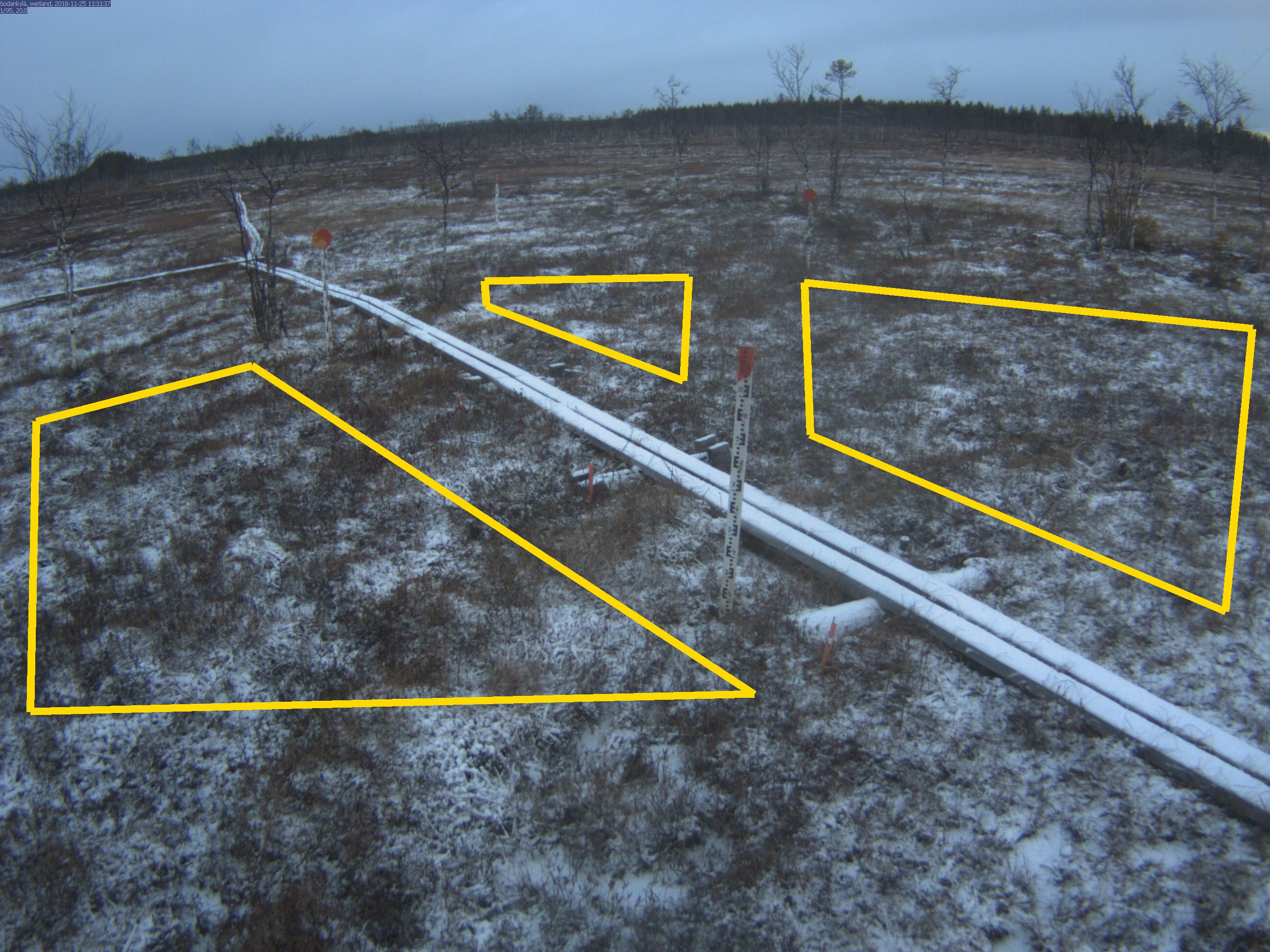
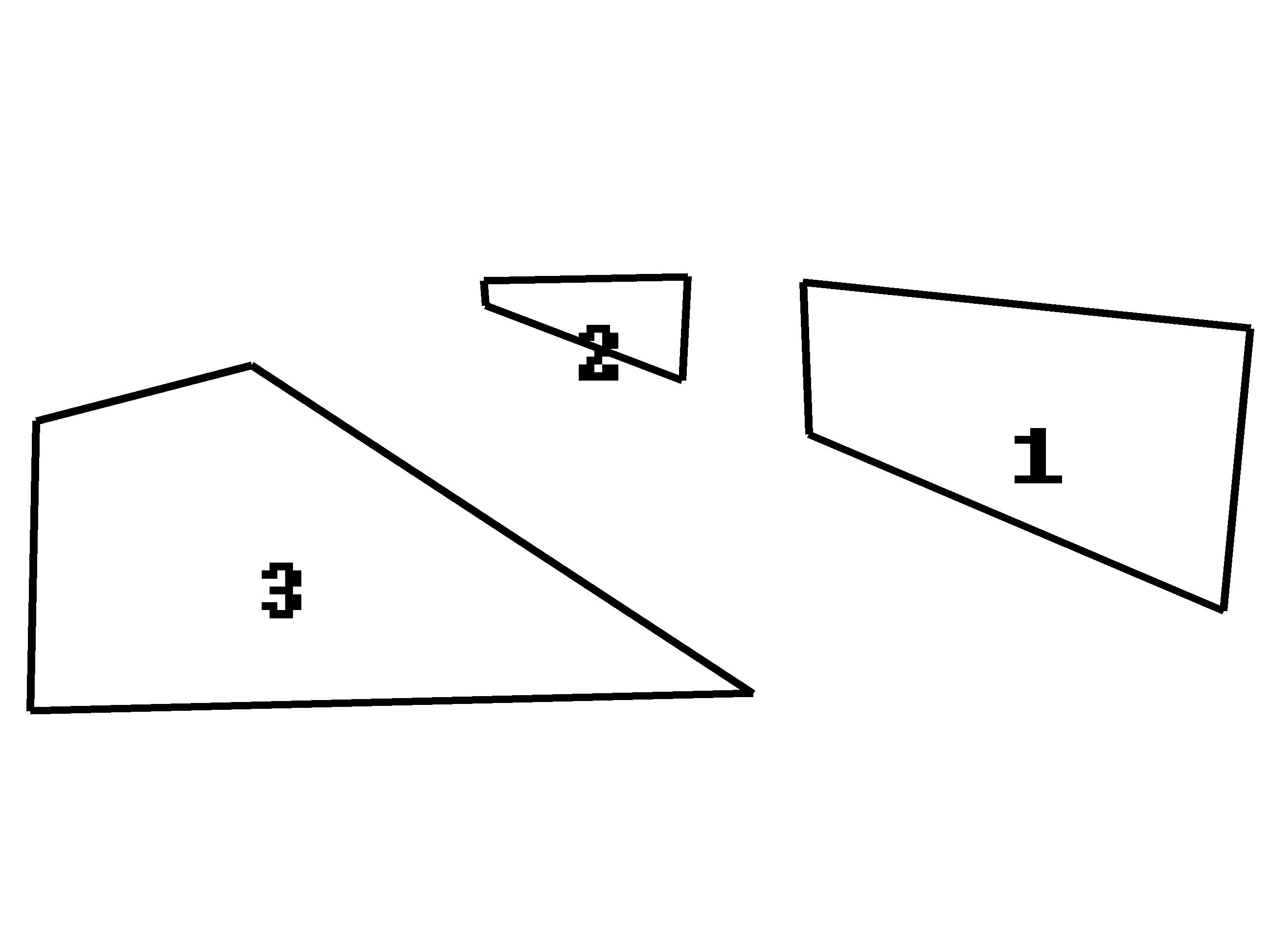
| Polygon | Image Coordinates | | 1 | 0.9864,0.3455,0.6333,0.297,0.6379,0.4566,0.9652,0.6424 | | 2 | 0.5379,0.4,0.3833,0.3212,0.3818,0.2949,0.5424,0.2909 | | 3 | 0.0288,0.4424,0.1985,0.3838,0.5939,0.7293,0.0242,0.7475 |
| ROI Geolocation information |
| Coordinate system: WGS84(EPSG:4326) | | Polygons do not directly correspond to image ROI polygons. |
| Polygon | Geolocation Coordinates | | 1 | 67.3684758182,26.6543847824 | 67.3684853967,26.6543688151,67.3685854107,26.6543108369,67.3685824212,26.6545027194,67.3685575998,26.6545638063,67.3685129005,26.6546132967,67.3684839149,26.6546039435,67.3684758182,26.6543847824
| Type |
Value |
Minimum |
Maximum |
| Image Threshold |
Brightness |
0.3 |
1.0 |
| Image Threshold |
Luminance |
0.0 |
1.0 |
| Image Threshold |
Red Fraction |
0.0 |
1.0 |
| Image Threshold |
Green Fraction |
0.0 |
1.0 |
| Image Threshold |
Blue Fraction |
0.0 |
1.0 |
| ROI Threshold |
Red Fraction |
0.0 |
1.0 |
| ROI Threshold |
Green Fraction |
0.0 |
1.0 |
| ROI Threshold |
Blue Fraction |
0.0 |
1.0 |
| Pixel Threshold |
Red Channel |
0.0 |
254.0 |
| Pixel Threshold |
Green Channel |
0.0 |
254.0 |
| Pixel Threshold |
Blue Channel |
0.0 |
254.0 |
| Pixel Threshold |
Grey Composite |
0.0 |
254.0 |
|
| Analysis No |
Analysis Name |
Analysis Parameters |
| 1 |
Snow Cover Fraction - SNOWCOV001 |
| Parameter |
Value |
| Include Red Channel |
Not Selected |
| Include Green Channel |
Not Selected |
| Include Blue Channel |
Selected |
| Store mid-step and extra output data |
Not Selected |
| Use georectification |
Selected |
| Spatial extent |
-1.5;2;9.5;14 |
| Spatial Extent Coordinate System |
ETRS-TM35FIN(EPSG:3067) GEOID with Camera at Origin |
| Spatial resolution |
0.0005 |
| DEM Dataset |
NLS-DEM2 |
| Camera coordinates |
67.368517;26.654483 |
| Camera coordinate system |
WGS84(EPSG:4326) |
| Camera Height |
2.08 |
| Horizontal position |
-2 |
| Target Direction |
23.4 |
| Vertical position |
18 |
| Focal length |
4 |
| Scaling factor |
0.69 |
| Interpolate DEM Data |
Selected |
| Flat terrain |
Not Selected |
| Radial Center |
0.0;0.0 |
| Horizontal coefficient |
0.13 |
| Vertical Coefficient |
0.13 |
|
|