| Camera Network |
Camera Name |
| MONIMET |
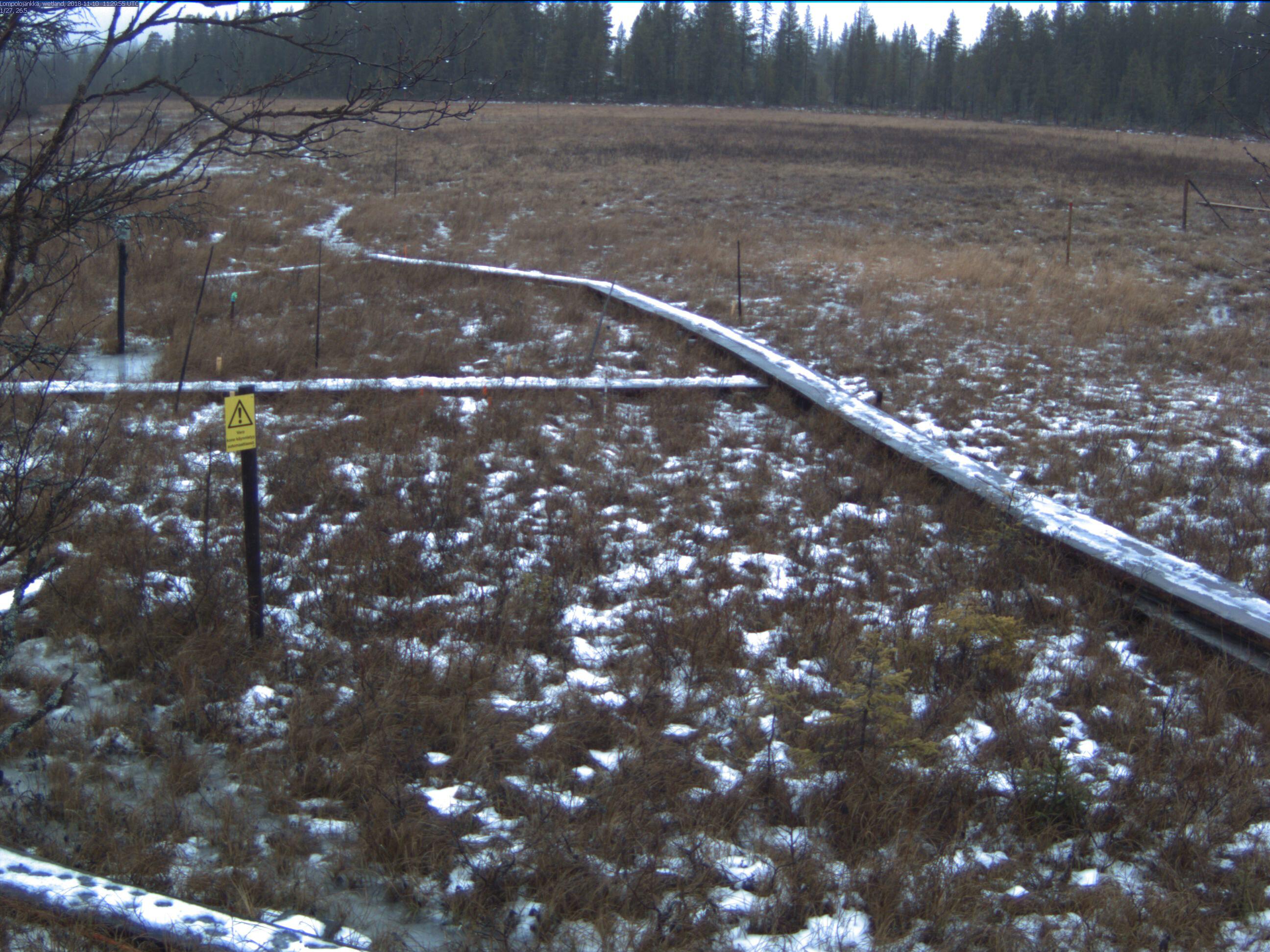
Lompolojankka Wetland Ground |
|
Start |
End |
| Date |
N/A |
N/A |
| Time |
05:15:00 |
18:45:00 |
|
| Run analyses also for each polygon (ROI) separately: False |
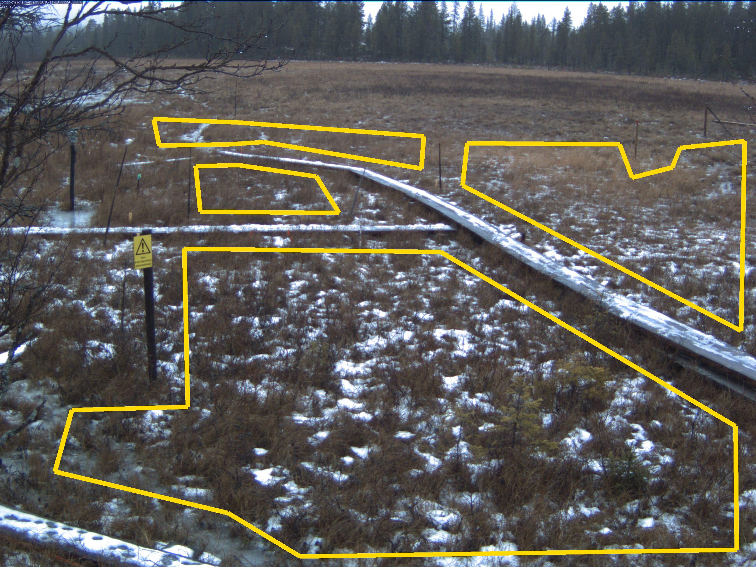
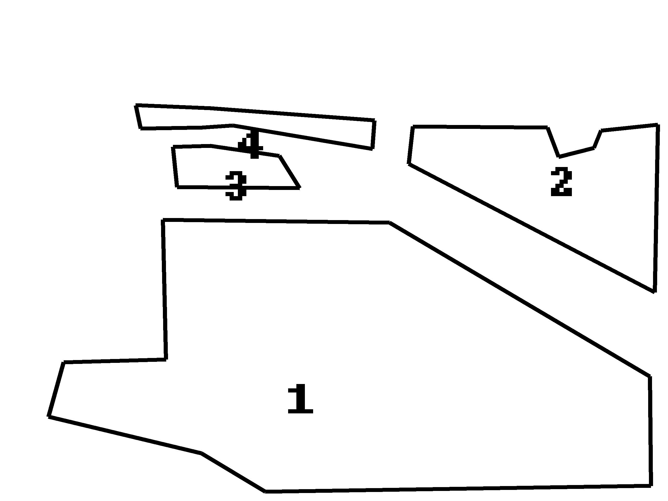
| Polygon | Image Coordinates | | 1 | 0.5833,0.4444,0.9727,0.7515,0.9742,0.9697,0.397,0.9818,0.3015,0.9051,0.0727,0.8323,0.0955,0.7232,0.2485,0.7172,0.2439,0.4384 | | 2 | 0.9803,0.5838,0.6121,0.3273,0.6182,0.2525,0.8197,0.2545,0.8364,0.3131,0.8894,0.2949,0.9,0.2606,0.9848,0.2485 | | 3 | 0.4485,0.3758,0.2652,0.3737,0.2591,0.2929,0.3152,0.2909,0.4182,0.3111 | | 4 | 0.5576,0.297,0.5606,0.2404,0.3152,0.2162,0.203,0.2101,0.2106,0.2566,0.303,0.2545,0.3485,0.2505 |
| ROI Geolocation information |
| Coordinate system: WGS84(EPSG:4326) | | Polygons do not directly correspond to image ROI polygons. |
| Polygon | Geolocation Coordinates | | 1 | 67.9973461175,24.2094738317 | 67.997302797,24.2093707177,67.9972591804,24.2091855903,67.9972863229,24.2090566601,67.9973316102,24.2090956105,67.9975655458,24.2088234299,67.9975941903,24.2090224892,67.9975824739,24.2092742863,67.9974760415,24.2095249836,67.9974012596,24.2095349537,67.9973461175,24.2094738317
| Type |
Value |
Minimum |
Maximum |
| Image Threshold |
Brightness |
0.3 |
1.0 |
| Image Threshold |
Luminance |
0.0 |
1.0 |
| Image Threshold |
Red Fraction |
0.0 |
1.0 |
| Image Threshold |
Green Fraction |
0.0 |
1.0 |
| Image Threshold |
Blue Fraction |
0.0 |
1.0 |
| ROI Threshold |
Red Fraction |
0.0 |
1.0 |
| ROI Threshold |
Green Fraction |
0.0 |
1.0 |
| ROI Threshold |
Blue Fraction |
0.0 |
1.0 |
| Pixel Threshold |
Red Channel |
0.0 |
254.0 |
| Pixel Threshold |
Green Channel |
0.0 |
254.0 |
| Pixel Threshold |
Blue Channel |
0.0 |
254.0 |
| Pixel Threshold |
Grey Composite |
0.0 |
254.0 |
|
| Analysis No |
Analysis Name |
Analysis Parameters |
| 1 |
Snow Cover Fraction - SNOWCOV001 |
| Parameter |
Value |
| Include Red Channel |
Not Selected |
| Include Green Channel |
Not Selected |
| Include Blue Channel |
Selected |
| Store mid-step and extra output data |
Not Selected |
| Use georectification |
Selected |
| Spatial extent |
-25;6;0;58 |
| Spatial Extent Coordinate System |
ETRS-TM35FIN(EPSG:3067) GEOID with Camera at Origin |
| Spatial resolution |
0.001 |
| DEM Dataset |
NLS-DEM10 |
| Camera coordinates |
67.997327;24.209417 |
| Camera coordinate system |
WGS84(EPSG:4326) |
| Camera Height |
2.5 |
| Horizontal position |
3 |
| Target Direction |
343 |
| Vertical position |
9 |
| Focal length |
4 |
| Scaling factor |
1.37 |
| Interpolate DEM Data |
Selected |
| Flat terrain |
Not Selected |
| Radial Center |
0.0;0.0 |
| Horizontal coefficient |
0.05 |
| Vertical Coefficient |
0.05 |
|
|