| Camera Network |
Camera Name |
| MONIMET |
Kaamanen Wetland Ground |
|
Start |
End |
| Date |
2022-08-01 |
2023-08-31 |
| Time |
05:15:00 |
18:45:00 |
|
| Run analyses also for each polygon (ROI) separately: False |
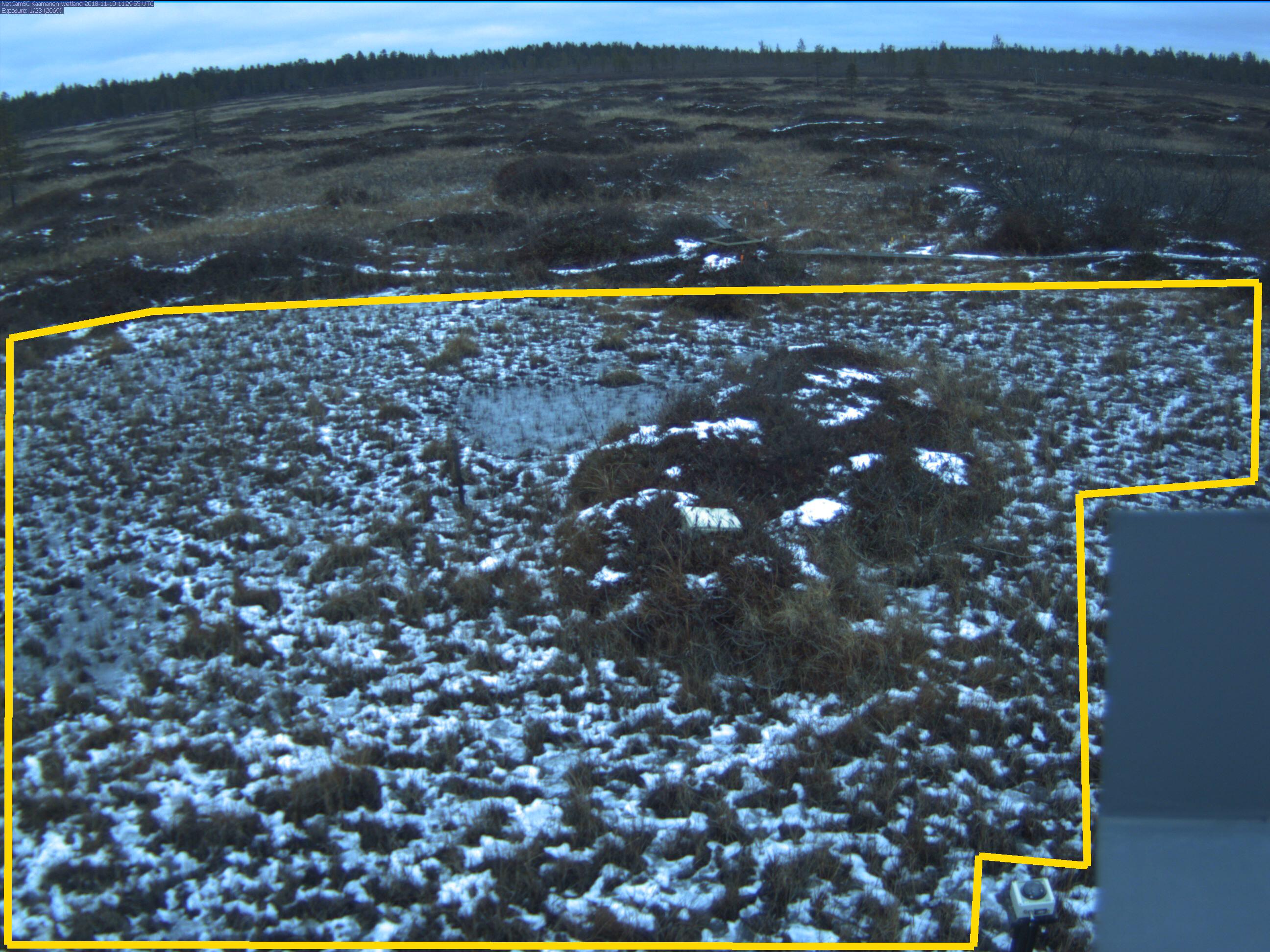
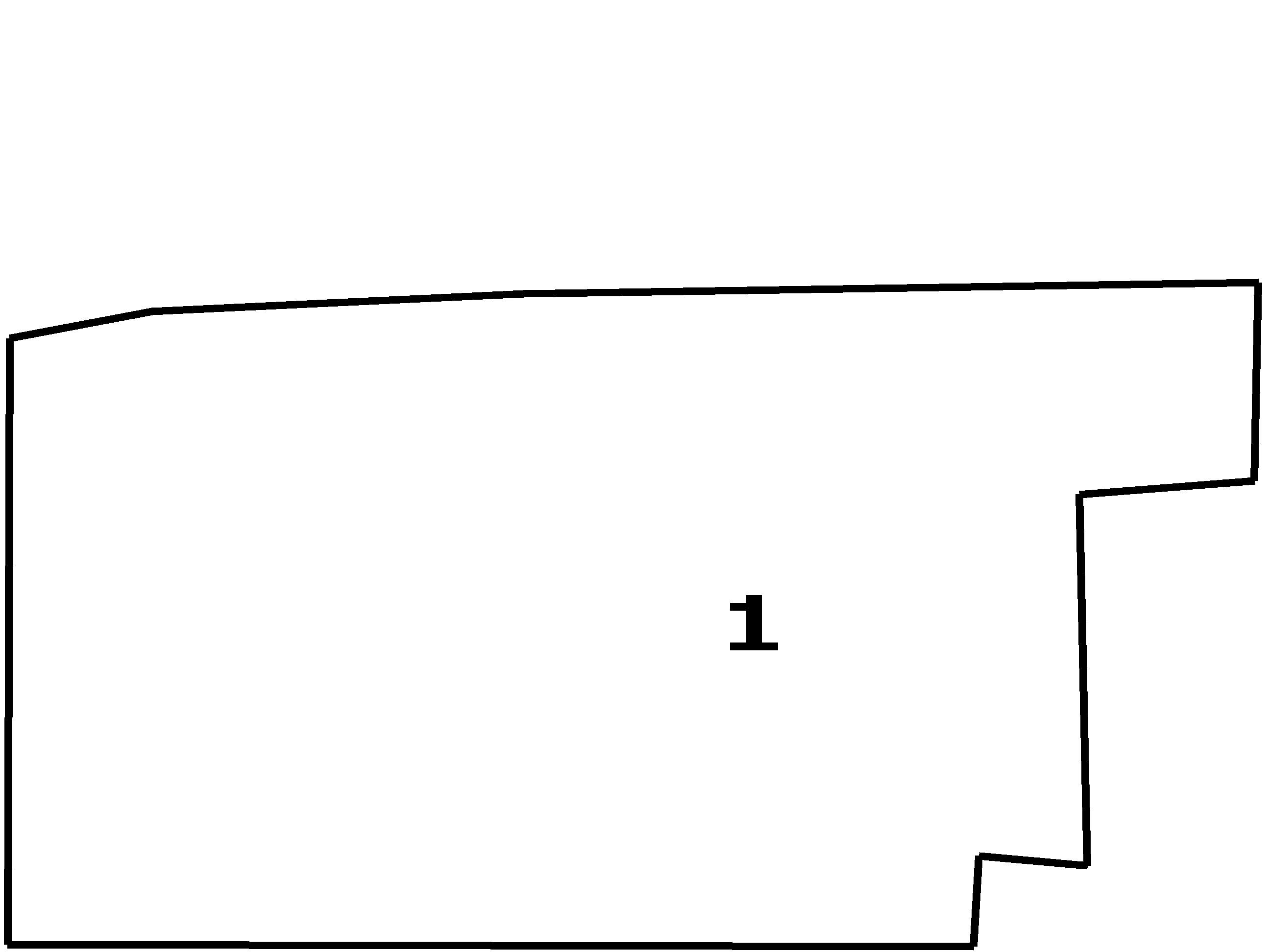
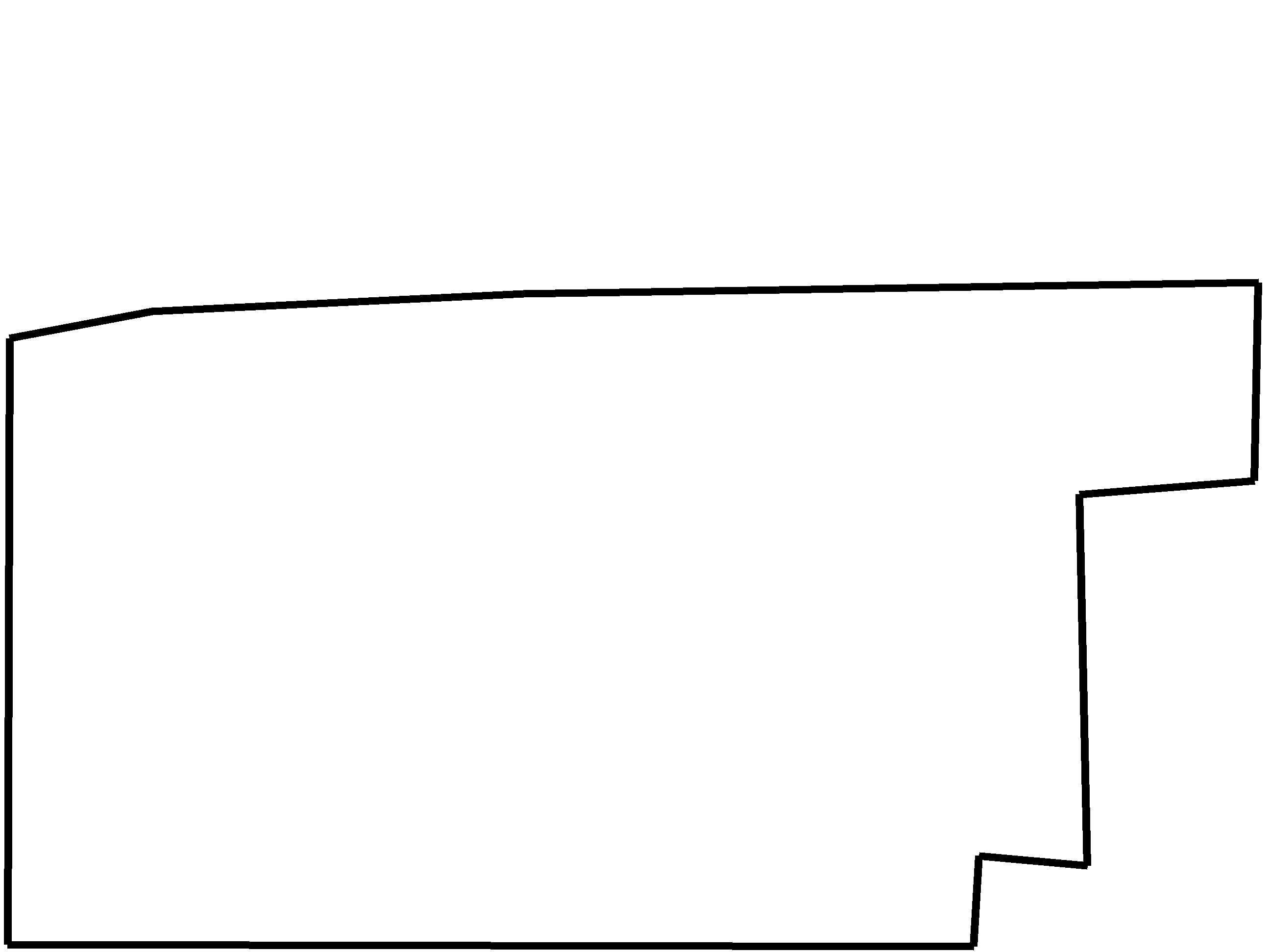
| Polygon | Image Coordinates | | 1 | 0.9909,0.297,0.4121,0.3091,0.1197,0.3273,0.0076,0.3556,0.0061,0.9919,0.7667,0.9939,0.7712,0.899,0.8561,0.9091,0.85,0.5192,0.9879,0.5051 |
| ROI Geolocation information |
| Coordinate system: WGS84(EPSG:4326) | | Geometry information is retrieved from camera metadata. |
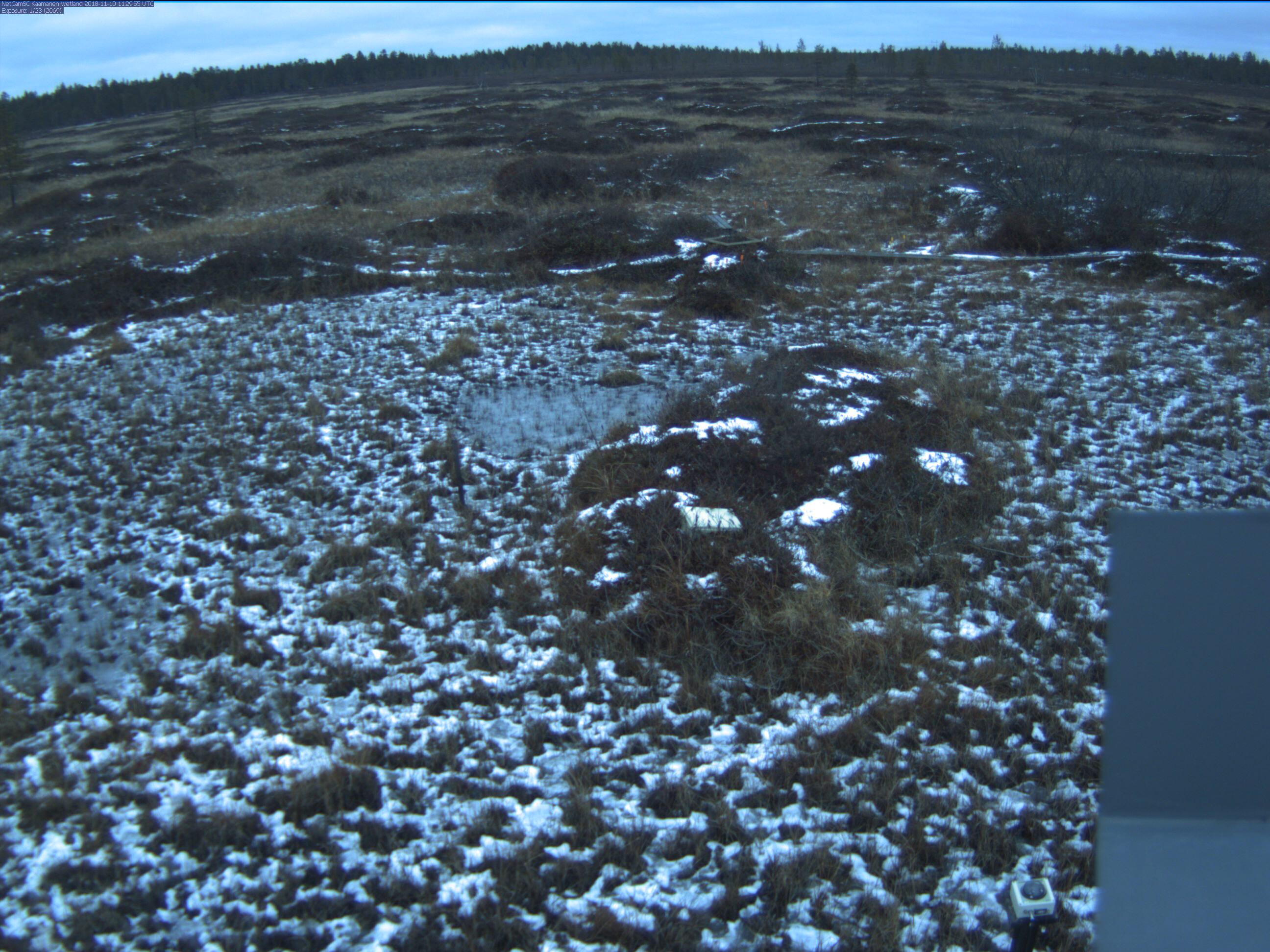
| Point | Geolocation Coordinates | | 1 | 69.140583,27.269817 |
| Type |
Value |
Minimum |
Maximum |
| Image Threshold |
Brightness |
0.25 |
1.0 |
| Image Threshold |
Luminance |
0.0 |
1.0 |
| Image Threshold |
Red Fraction |
0.0 |
1.0 |
| Image Threshold |
Green Fraction |
0.0 |
1.0 |
| Image Threshold |
Blue Fraction |
0.0 |
1.0 |
| ROI Threshold |
Red Fraction |
0.0 |
1.0 |
| ROI Threshold |
Green Fraction |
0.0 |
1.0 |
| ROI Threshold |
Blue Fraction |
0.0 |
1.0 |
| Pixel Threshold |
Red Channel |
0.0 |
254.0 |
| Pixel Threshold |
Green Channel |
0.0 |
254.0 |
| Pixel Threshold |
Blue Channel |
0.0 |
254.0 |
| Pixel Threshold |
Grey Composite |
0.0 |
254.0 |
|
| Analysis No |
Analysis Name |
Analysis Parameters |
| 1 |
Snow Cover Fraction - SNOWCOV001 |
| Parameter |
Value |
| Include Red Channel |
Not Selected |
| Include Green Channel |
Not Selected |
| Include Blue Channel |
Selected |
| Store mid-step and extra output data |
Not Selected |
| Use georectification |
Selected |
| Spatial extent |
3.5;0;23;17 |
| Spatial Extent Coordinate System |
ETRS-TM35FIN(EPSG:3067) GEOID with Camera at Origin |
| Spatial resolution |
0.001 |
| DEM Dataset |
NLS-DEM10 |
| Camera coordinates |
69.140583;27.269817 |
| Camera coordinate system |
WGS84(EPSG:4326) |
| Camera Height |
2.6 |
| Horizontal position |
-1 |
| Target Direction |
55.5 |
| Vertical position |
12 |
| Focal length |
4 |
| Scaling factor |
1.24 |
| Interpolate DEM Data |
Selected |
| Flat terrain |
Not Selected |
| Radial Center |
0.0;0.0 |
| Horizontal coefficient |
0.1 |
| Vertical Coefficient |
0.1 |
|
|