| Camera Network |
Camera Name |
| LUMIKE |
LUMIKE-6032OverAll |
|
Start |
End |
| Date |
2021-08-01 |
2022-08-31 |
| Time |
05:15:00 |
18:15:00 |
|
| Run analyses also for each polygon (ROI) separately: False |
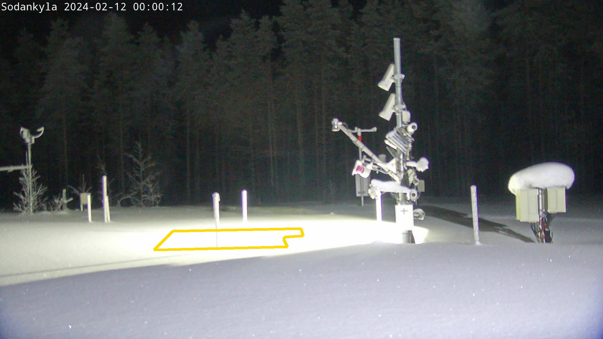
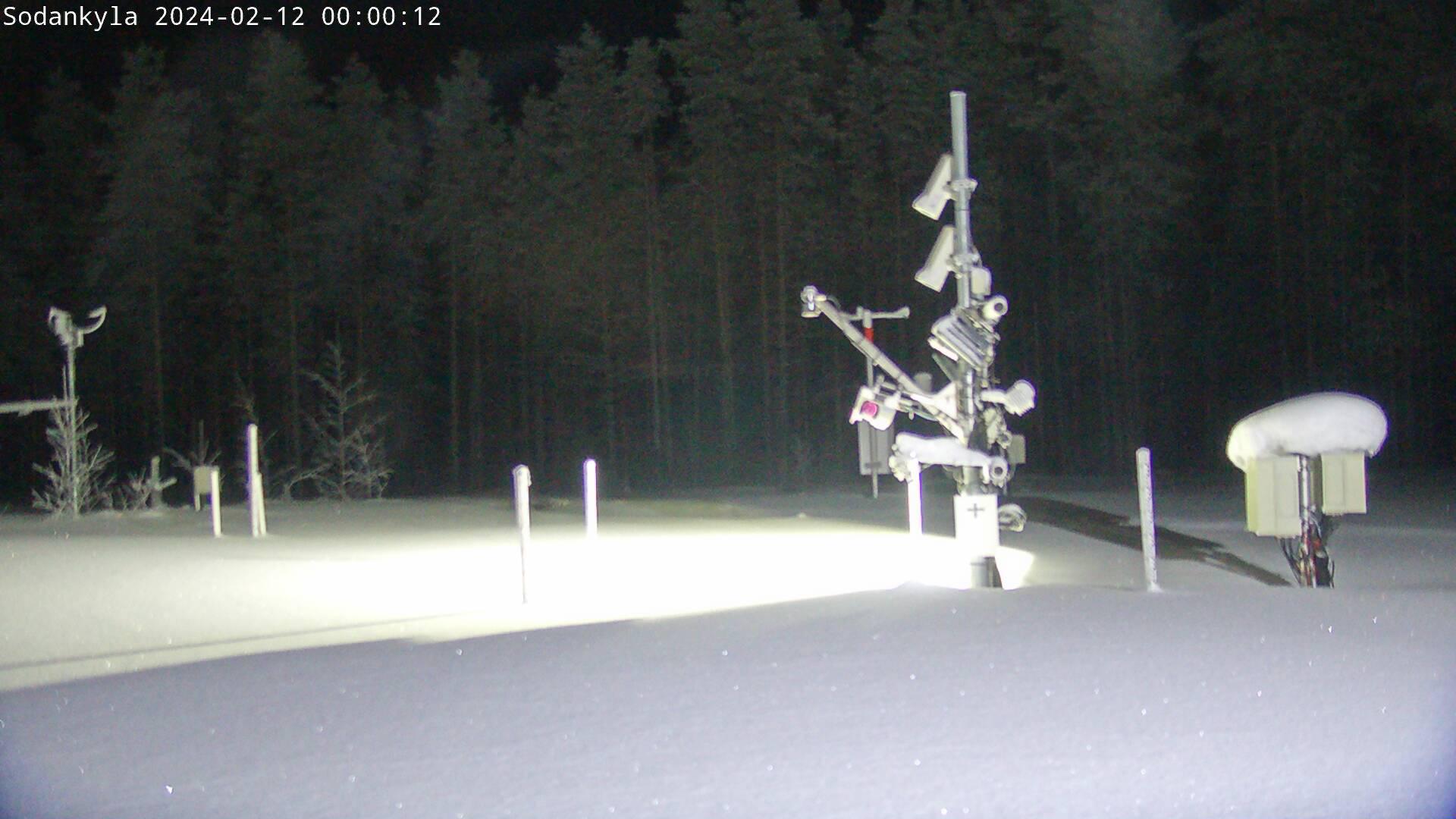
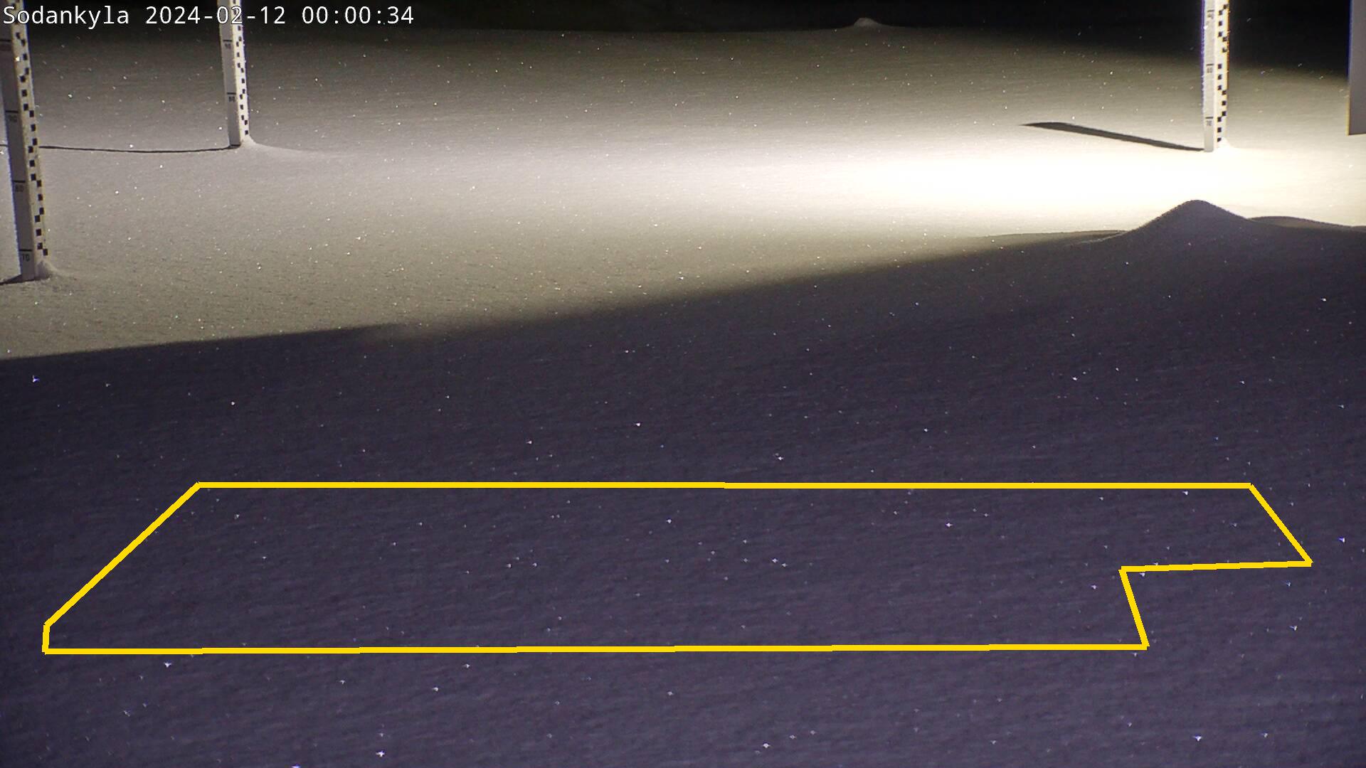
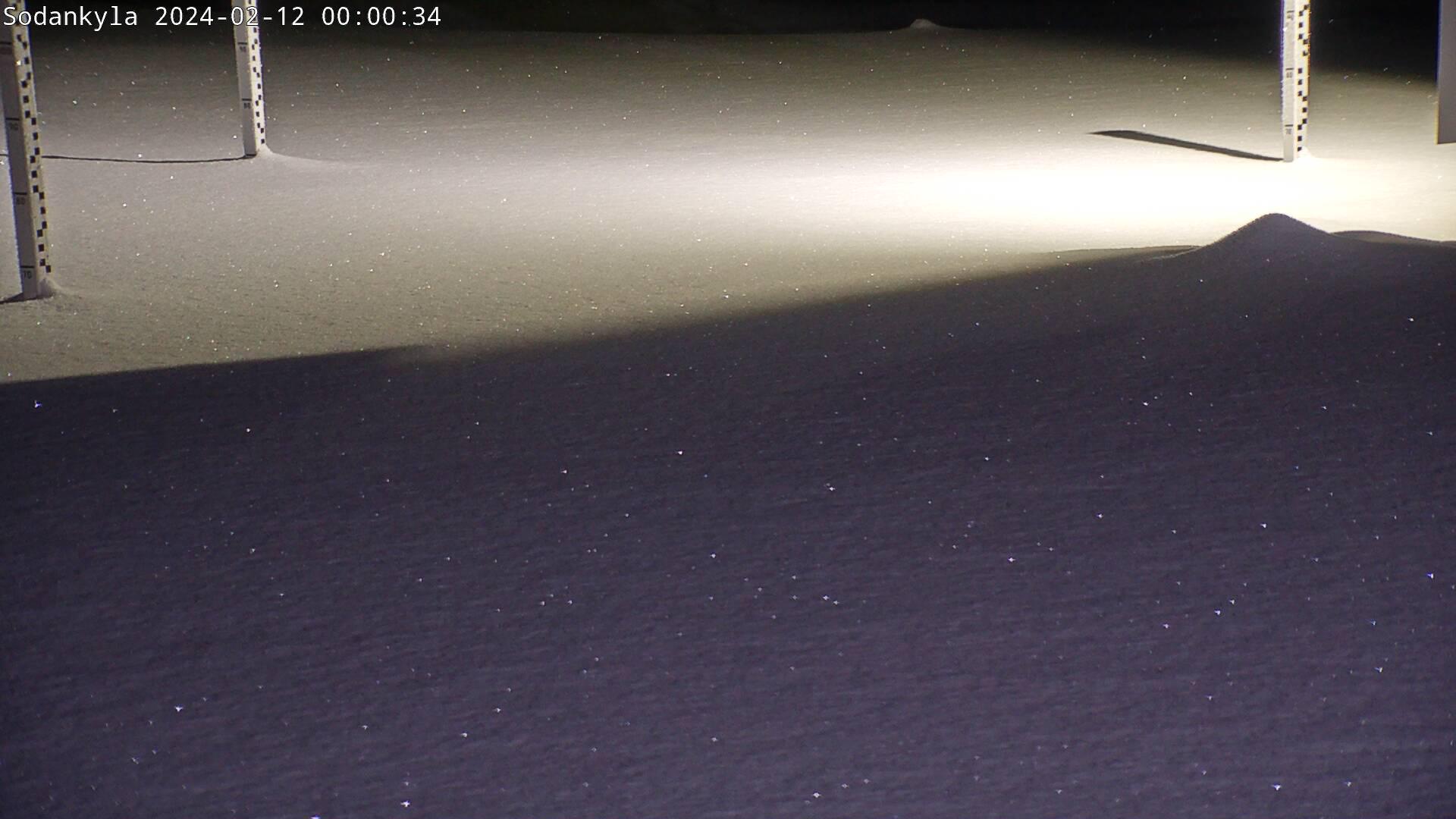
| Polygon | Image Coordinates | | 1 | 0.2556,0.7374,0.4768,0.7284,0.4707,0.7068,0.4717,0.6996,0.503,0.696,0.499,0.6745,0.2869,0.6817 |
| ROI Geolocation information |
| Geometry information is not available. |
| Type |
Value |
Minimum |
Maximum |
| Image Threshold |
Brightness |
0.55 |
1.0 |
| Image Threshold |
Luminance |
0.0 |
1.0 |
| Image Threshold |
Red Fraction |
0.0 |
1.0 |
| Image Threshold |
Green Fraction |
0.0 |
1.0 |
| Image Threshold |
Blue Fraction |
0.0 |
1.0 |
| ROI Threshold |
Red Fraction |
0.0 |
1.0 |
| ROI Threshold |
Green Fraction |
0.0 |
1.0 |
| ROI Threshold |
Blue Fraction |
0.0 |
1.0 |
| Pixel Threshold |
Red Channel |
0.0 |
254.0 |
| Pixel Threshold |
Green Channel |
0.0 |
254.0 |
| Pixel Threshold |
Blue Channel |
0.0 |
254.0 |
| Pixel Threshold |
Grey Composite |
0.0 |
254.0 |
|
| Analysis No |
Analysis Name |
Analysis Parameters |
| 1 |
Snow Cover Fraction - SNOWCOV001 |
| Parameter |
Value |
| Include Red Channel |
Not Selected |
| Include Green Channel |
Not Selected |
| Include Blue Channel |
Selected |
| Store mid-step and extra output data |
Not Selected |
| Use georectification |
Not Selected |
| Spatial extent |
0;0;0;0 |
| Spatial Extent Coordinate System |
ETRS-TM35FIN(EPSG:3067) |
| Spatial resolution |
1 |
| DEM Dataset |
NLS-DEM2 |
| Camera coordinates |
0;0 |
| Camera coordinate system |
WGS84(EPSG:4326) |
| Camera Height |
10 |
| Horizontal position |
0.0 |
| Target Direction |
0.0 |
| Vertical position |
0.0 |
| Focal length |
24 |
| Scaling factor |
1 |
| Interpolate DEM Data |
Selected |
| Flat terrain |
Not Selected |
| Radial Center |
0.0;0.0 |
| Horizontal coefficient |
0.0 |
| Vertical Coefficient |
0.0 |
|
|